The City of Bowling Green also has several online map sources available here: https://www.bgky.org/publicworks/gis.
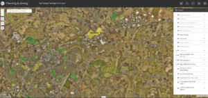
Planning & Zoning
Contains parcel boundaries, address points, zoning, land use, historic districts, focal point plan boundaries, Development Plan Conditions / Binding Elements, building permits, sign/billboard information, past applications, and site development plans.
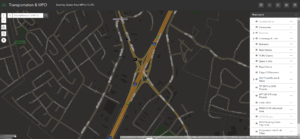
Transportation & MPO
Transportation system including speed limits, traffic counts, roads, sidewalks, existing/proposed trails/greenways, MTP projects, TIP projects, CHAF wish list projects and the urbanized area boundary.
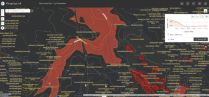
Geophysical
This map contains a terrain map, contours, spot elevations, sinkhole/cave probability, wetlands, floodplain, prime farmland, soil suitability for septic tanks, and the karst drastic index. There is also a topographic profile tool to visualize elevation relief.
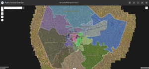
Public School Districts
This map contains public school districts for Warren County Public Schools and Bowling Green Independent School districts. Student attendance boundaries for elementary, middle and high schools as well as school board member voting areas.
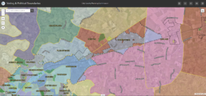
Voting & Political Boundaries
This map contains voter precincts, county magistrate districts, state representative districts, county volunteer fire districts, and zip code boundaries.
BikeWalkBG Map
This map contains the locations of biking and walking infrastructure throughout Warren County. This includes shared-use paths, bike lanes, share-the-road/sharrows, walking paths, and sidewalks. Use this map to find our greenways and plan future routes to walk, ride, or run.
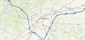
Warren County Blueways
This map contains the locations of Warren County’s navigable waterways. This includes ramp locations, access points, and other important features to help find a place to paddle, float, and/or boat.
